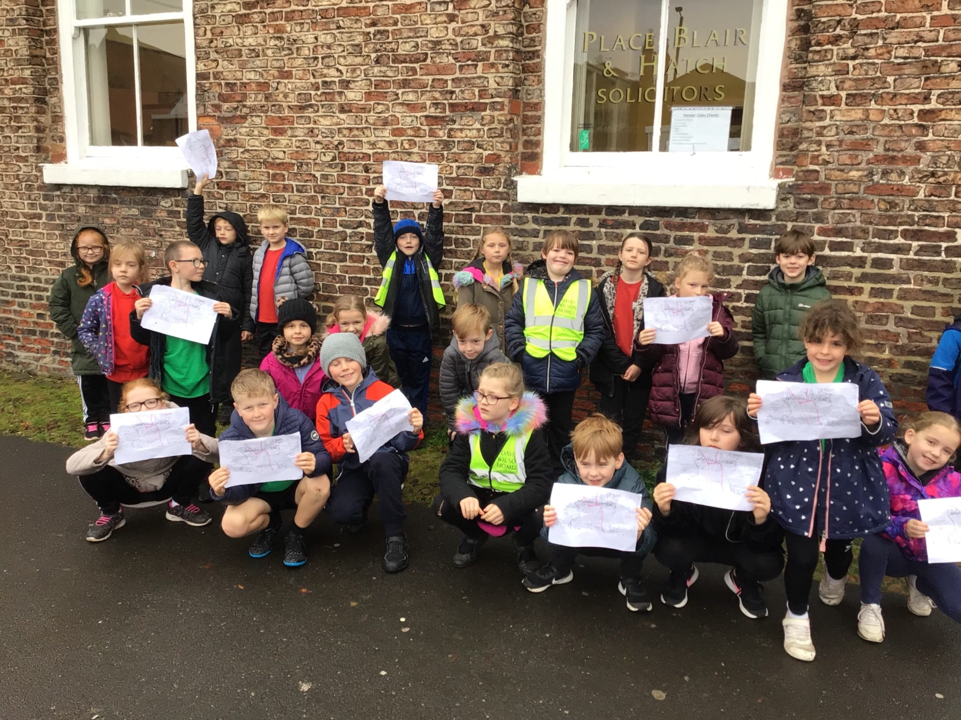
Last week was our sixth annual Heritage Week at Applegarth School. As a Heritage School, children are actively involved in finding out about the history, geography, culture, changes over time and the amazing gems (hidden or known about) that make Northallerton special.
Last week, our focus was MAPS. Children used maps from 1895 to the present day to compare and contrast the features of the town, generating questions to explain the changes and comparing what they know now to the Northallerton of the past. Thank you again to our local Records Office for these incredible primary sources.
Children in Key Stage 1 made their own Northallerton maps, choosing key buildings and remodelling the High Street using Lego and blocks, explaining their choices and even pointing the way to their homes based on which buildings they passed.
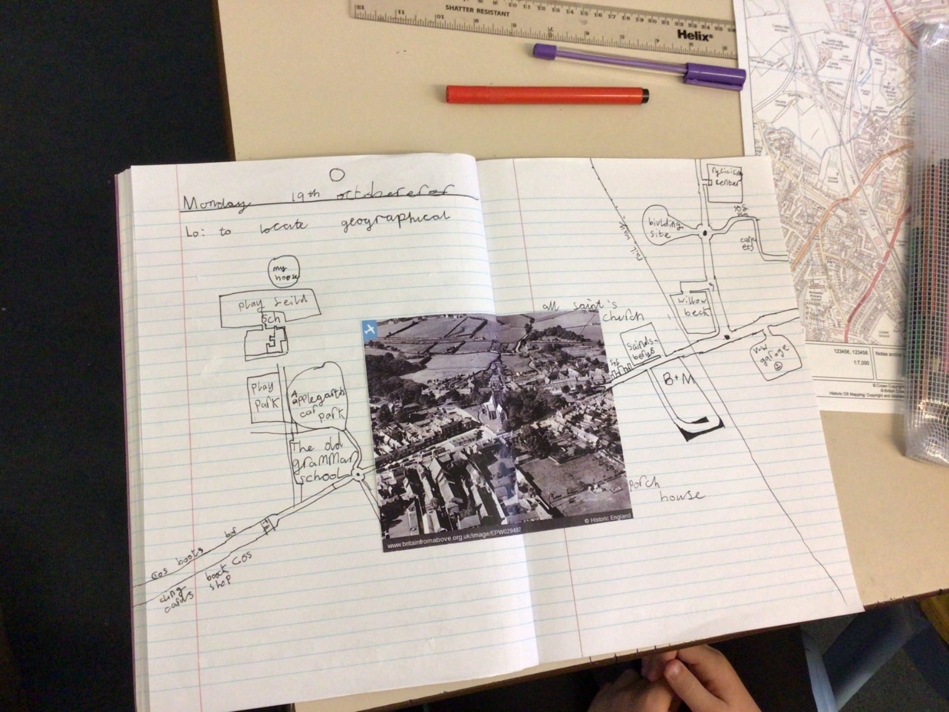
Year 3/4 children used aerial maps from 1929 to locate the different places of worship (PW) then extended the maps using their knowledge of the town today. They also explored their route to school using Digimaps and Google Earth and used the original 1909 map of the school to explain how the girls and boys entered the school (through separate entrances) and why there was no need for a kitchen at first despite 480 children being on the roll! We listened to interviews of parents and grandparents that had been uploaded to Seesaw too.
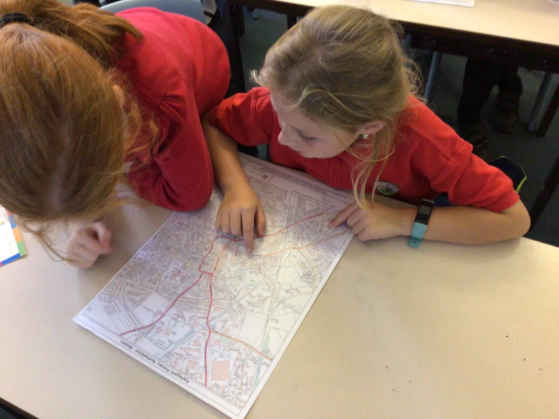
Year 5/6 children compared a selection of maps from 1895, 1957 and the present day to track changes, predicting what the town may look like in the future based on past trends. They used Digimaps to snip parts of the town and even made up a Northallerton rap based on what they had learnt!
All in all, the children and adults had a wonderful week. We learnt so much from a variety of sources and look forward to our next opportunity to celebrate the rich heritage that our town has.